
Antarctica Has Been Divided into Sectors
15% of Antarctica remains unclaimed, and Norway has staked a claim to the territory once claimed by Nazi Germany. A meteorite crater 500 km across.
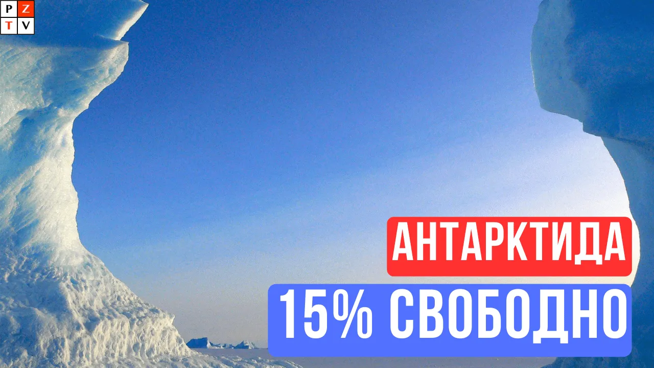
Today there are about a hundred polar research stations and bases belonging to different countries in Antarctica. It's worth noting, though, that several major countries have their own claims to the Antarctic region
Interesting facts about Antarctica
- 12–15% of the Antarctic coastline is not covered by any country's territorial claims
- Only one station sits right at the South Pole: the Amundsen-Scott station, which belongs to the USA. The other stations are mostly located beyond the 80th parallel.
- There are German maps showing a polar base called "New Swabia"
- Antarctica has a meteorite crater and an active volcano
- About 70% of the world's fresh water is held in Antarctica
- Antarctica has rivers
- Antarctica has a meteorite crater up to 480 km in diameter
Map of territorial claims in Antarctica
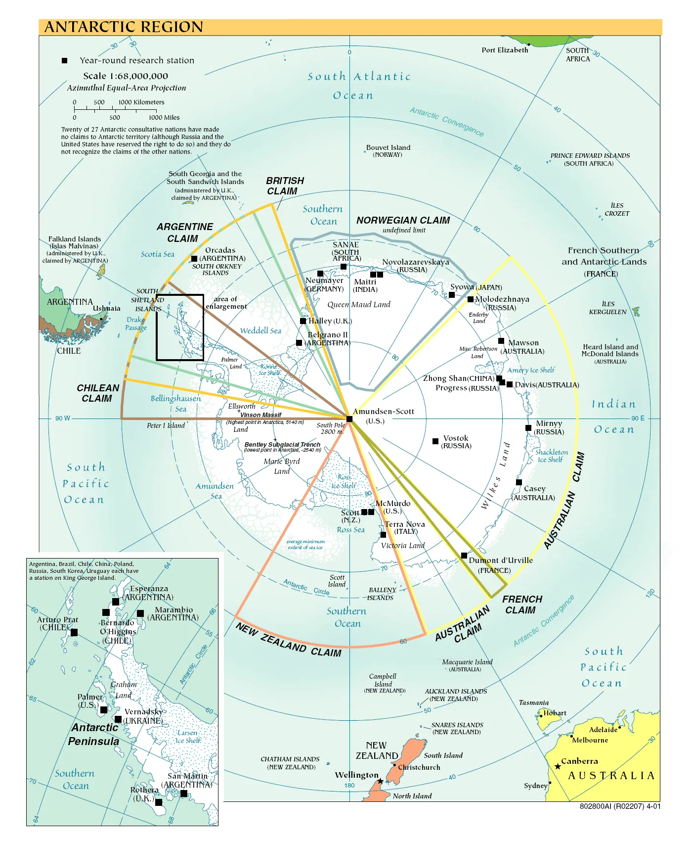
Country | Share of coastline |
|---|---|
45% | New Zealand, Australia |
20% | Britain, Chile, Argentina |
15% | Norway |
3% | France |
17% | unclaimed |
Under the Antarctic Treaty, which entered into force in 1961, sovereignty claims in Antarctica are frozen, and the region is recognized as a zone of peace reserved exclusively for scientific research.
Many countries, including the United Kingdom, have given up formal territorial claims but reserved the right to assert them in the future under international law.
Germany in Antarctica
New Swabia is a part of Antarctica (the "German Antarctic sector" between 4°50' E and 16°30' E) that Nazi Germany claimed as its territory from 1939 to 1945. These claims were never formally renounced. New Swabia lay within Queen Maud Land, which Norway has regarded as its dependent territory since 1938 (Norway fought on Germany's side in World War II).
Germany actively explored Antarctica in 1938–1939. The ship chosen for the expedition was the Schwabenland, which had been used for transatlantic mail service since 1934. A crane was mounted on her stern. The ship's special feature was a Dornier Do 16 seaplane, also carried on the stern. It could take off from a steam catapult and, after the flight, be hoisted back on board by the crane.
The Dornier Do 16 aircraft carried out a detailed photographic survey of the territory. A huge area of the southern continent was surveyed, from 13° W to 22° E (roughly 600,000 km²); marker pennants were dropped every 25–30 km, and more than 11,000 photographs were taken, covering about 360,000 km². The expedition discovered the ice-free Schirmacher Oasis.
The Wilkes Land meteorite crater
The Wilkes Land crater is a formation more than 500 km across, lying beneath the ice sheet in Antarctica. In the late 1950s, scientists detected gravity anomalies. Several experiments showed that they resembled the anomalies found around meteorite craters. This hypothesis was supported in 2006, when American and German satellites studied the Earth's gravitational field.
If the Wilkes Land crater really is a meteorite crater, the meteorite that made it was about 60 km in diameter.
Our projects
Send us your thoughts, questions and messages in the Telegram chat or by email at shkola_pozitiva@mail.ru
Find us on social media:
- Telegram ShkolaPozitiva
- Telegram chat Shkola_Pozitiva_chat
- TikTok shkolapozitiva
- VKontakte Shkola.Pozitiva
- Instagram Shkola.Pozitiva



Discussion
No comments yet